The Birth of Modern Osaka
This month marks exactly 100 years since the birth of modern Osaka.
In April 1925 (Taishō 14), under a bold thirty-year urban development plan, Osaka City absorbed 44 surrounding towns and villages.1 The city’s population surged to 2.1 million—up from just 272,000 in 1873.2
With that, Osaka became the most populous city in Japan.3 As one of Asia’s leading commercial hubs it stood on the global stage.
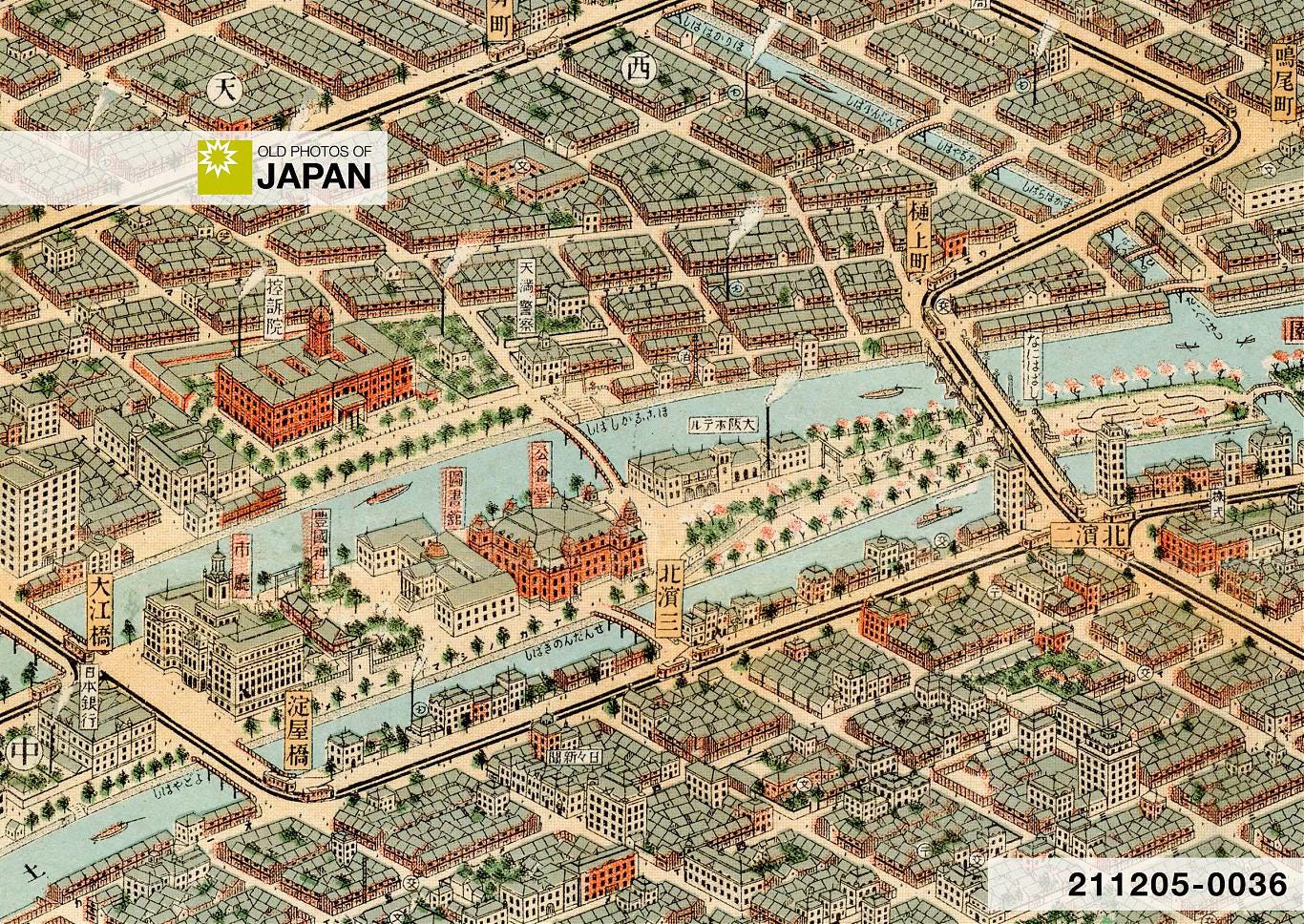
Just a year earlier, local printing company Warajiya had published an extraordinary bird’s-eye view map of the city. Beautifully illustrated, it captured the city in the midst of rapid modernization, industrialization, and explosive urban growth. The map preserved Osaka at a pivotal moment, precariously straddling past and future.
My collection has two original editions of this rare and invaluable map. It is incredibly detailed, marking public facilities like schools, post offices, neighborhood police stations (kōban), and bathhouses (sentō), as well as temples, shrines, department stores, and even individual streetcar stops. It is a veritable time capsule.

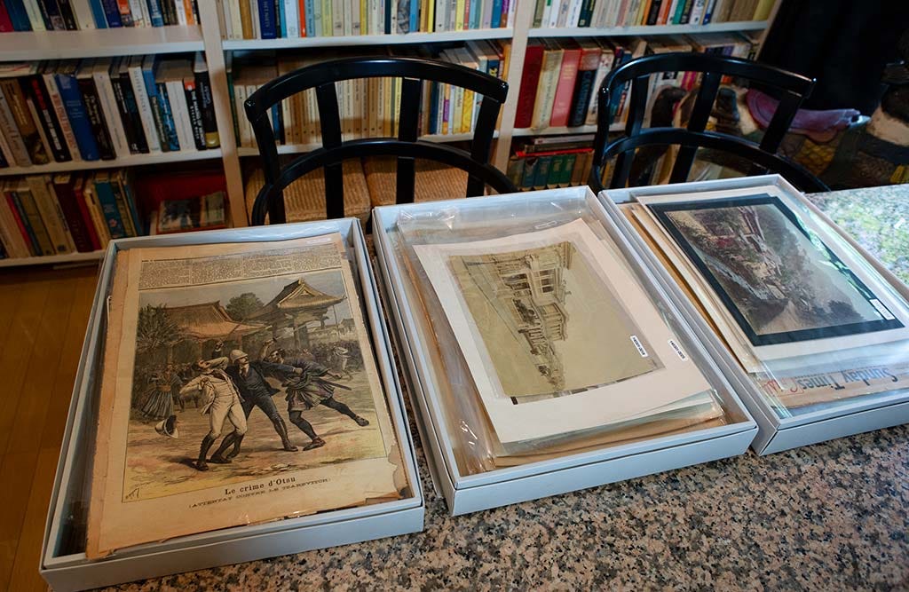
For years, I wondered how I could best convey its artistry and historical significance. The answer came unexpectedly when I recently acquired aerial photos of Osaka from the same era. Many of the photographed buildings are illustrated on the map, underscoring the creator’s meticulous attention to detail.
In a series of upcoming articles, I will pair this map with aerial and street-level photos, as well as historical context, to explore Osaka’s dramatic transformation of the 1920s and 1930s — a transformation that shaped the modern city we know today. You will see Osaka with new eyes.
Stay tuned!
About Old Photos of Japan
Old Photos of Japan is much more than just a newsletter. It is your personal museum for Japan’s visual heritage of daily life between the 1850s and 1960s. It includes a research-driven website, a comprehensive online image archive, and this newsletter, all freely accessible.
Most of the images shared here come from my personal collection. From 2007 to 2021, I supported Old Photos of Japan through my career as a Japan Correspondent and photographer. However, the demands of that work limited the time I could devote to collecting and researching. So, in 2022, I chose to focus on this project full-time, with a specific commitment to careful, reliable (and time-consuming) research.
If you are able, please consider supporting this unique community project with a one-time donation or a monthly subscription. Your support truly makes a difference and also helps preserve these invaluable images, and my research, for future generations.

The plan was led by Mayor Hajime Seki (1873–1935). His progressive approach to urban development and social policy transformed the city of smoke into a livable metropolis. I highly recommend reading The City as Subject: Seki Hajime and the Reinvention of Modern Osaka by Jeffrey E. Hanes, published in 2002 by University of California Press.
When Osaka City was officially established as a municipality in 1889 (Meiji 22), it measured a mere 15 square kilometers (6 sq mi), one-fourteenth of its current size. Some 40 square kilometers (15 sq mi) were added in 1897 (Meiji 30), but the 1925 enlargement added a whopping 126 square kilometers (49 sq mi).
In 1932 (Showa 7), Tokyo became Japan’s largest city by population.


I am floored by this map! Looking forward to your Osaka articles!
Looking forward to this! I’m visiting Osaka this May. I’ve been several times but haven’t stayed more than a day since I was a child (1970). Going to be there for over a week this time.